Kelowna's construction boom pushes deeper into the silty-clay benches overlooking Okanagan Lake, where glacio-lacustrine deposits create a predictable but demanding challenge for any open cut. The valley's semi-arid climate, with annual precipitation barely reaching 340 mm, masks the real hazard: a shallow groundwater table perched within sandy interbeds that saturates without surface warning. Our monitoring approach directly addresses this disconnect. We track lateral deformation and pore pressure shifts from the first bucket to final backfill, referencing the 2020 NBCC for seismic demand and the material-specific guidelines in CSA A23.3. For projects near the lake's edge or cutting into Mission Creek fan sediments, combining this data with a slope stability analysis helps anticipate failure mechanisms before instrumentation flags a trend. The result is a continuous, defensible record of ground behavior tied explicitly to Kelowna's post-glacial stratigraphy.
We instrument the interface between stiff silt and loose sand—that's where 90% of Kelowna's excavation surprises originate.
Regional considerations
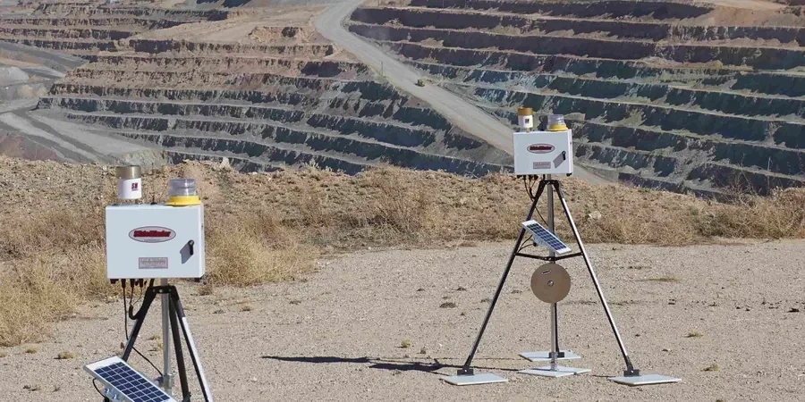
A string of inclinometer casings, a survey total station fixed on permanent monuments, and vibrating-wire piezometers buried in sand packs—this is the frontline equipment we deploy on a typical downtown Kelowna excavation. The primary threat isn't just the 12-meter-high cut; it's the delayed pore-pressure equalization in the silt units that line Glenmore Road and the Pandosy corridor. We have documented cases where a perfectly stable wall at 10 a.m. develops a tension crack by 2 p.m. simply because the negative pore pressures generated during unloading dissipated faster than the contractor anticipated. Adjacent infrastructure complicates the picture: a 1950s-era masonry building responds to 5 mm of settlement very differently than a modern steel frame. By tying real-time readings to pre-construction threshold values derived from the project-specific geotechnical report, we eliminate the guesswork. The instrumentation doesn't just measure—it triggers a clear action protocol, whether that means dewatering adjustments, strut preloading, or a temporary halt to the dig until the numbers stabilize.
Common questions
What does an excavation monitoring program typically cost for a medium-sized Kelowna project?
For a typical downtown Kelowna excavation with three inclinometer stations, five survey prisms, and two piezometers monitored over a four-month construction window, budgets generally range from CA$1,080 to CA$3,780. The final figure depends on the monitoring frequency, number of instruments, and reporting detail required by the geotechnical engineer of record.
When does the NBCC require excavation monitoring adjacent to existing buildings?
The NBCC 2020 triggers monitoring requirements when the zone of influence of the excavation intersects a protected structure. In Kelowna's common soil profile—silty clay over till—the 1:1 influence line from the base of the cut often captures adjacent footings. A pre-construction condition survey combined with real-time settlement and lateral movement monitoring satisfies the code's intent for life-safety and property protection.
How do you separate perched groundwater effects from deep aquifer response in the silt units?
The reference range for this service in Kelowna is CA$1.080 - CA$3.780. The final price depends on the project scope and volume.
What is the minimum monitoring duration after the final cut is reached?
Monitoring continues for at least two weeks after reaching final subgrade, or until the rate of movement drops below 0.5 mm/week for three consecutive readings, whichever is longer. In Kelowna's silt soils, the consolidation lag can extend this window to four or five weeks if the permanent dewatering system hasn't fully stabilized the pore pressures.
Can you monitor vibration impacts during rock-breaking in the Glenmore area?
Yes. We deploy triaxial geophones on neighboring foundations and set PPV limits per CSA A23.3 and the contractor's vibration control plan. The basalt and fractured bedrock common in the Glenmore highlands can transmit ground-borne vibration farther than anticipated, so we establish baseline ambient readings before any hammering begins and trigger real-time alerts if the 12.5 mm/s threshold is approached.